Navigation
Underwater Photo / Video
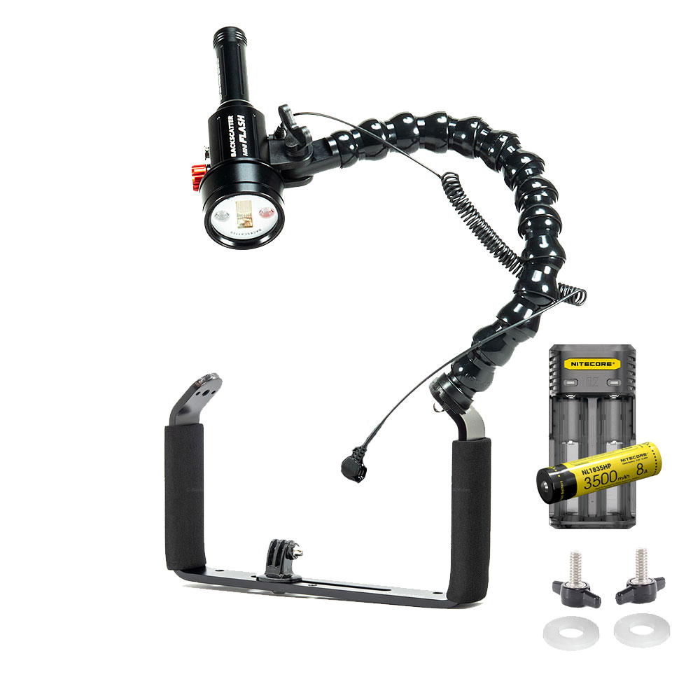
Welcome to The Scuba Doctor online underwater photography and video store. We have a growing range of specialist waterproof underwater camera housings, underwater video camera housings, and everything you need for underwater photography in the marine, ocean, sailing, or surfing environment.
An underwater camera is a must for any diver wanting to capture memories of their time below the surface. Underwater photography has increased in popularity over recent times and as the technology has continued to develop, the quality of underwater cameras available has improved dramatically. Many underwater cameras now have a white balance feature built-in, allowing reds back into stills and videos.
Isabella, Cape Nelson
![]() Wreck Dive |
Wreck Dive | ![]() Boat access
Boat access
![]()
![]()
Three-Masted Wooden Barque | Max Depth: 10 m (33 ft)
Level: Open Water and beyond.
The Isabella shipwreck lies in 10 m (33 ft) of water out from the shore at Cape Nelson, west of Portland, on Victoria's Discovery Coast. It's significant as one of the earliest known shipwrecks along the Victorian coastline.
Diving the Isabella Shipwreck
Access is by boat from the Portland Harbour, Lee Breakwater Road North Ramp or the Portland Harbour, Lee Breakwater Road South Ramp. The GPS mark should be right on, but use your sounder in the general area to locate the wreck.
Best dived in good conditions with a low swell with light north or northerly winds. See WillyWeather (Cape Nelson Lighthouse) as a guide for the tide times and the height of the tide.
Isabella Shipwreck History — Built in 1826
The Isabella was a three-masted wooden barque of 255 l-ton (259 t), built in 1826, at South Town, Yarmouth, United Kingdom. The vessel had an overall length of 89.7 ft (27 m), a beam of 24 ft (7.32 m) and draught of 16.5 ft (5.03 m).
i>Isabella Sinking — 1 April 1837
The Isabella had arrived in Australia (Hobart Town) from London with a cargo of sheep on 11 February 1837. The ship left Hobart Town, Tasmania, on 22 February 1837 with 800 sheep, seven head of cattle and passengers bound for Launceston and arrived on 8 March 1837.
The Isabella left George Town, Tasmania, on 21 March 1837 bound for Adelaide, South Australia under the command of Captain John Hart, crossed Bass Strait and was reported wrecked at Cape Nelson at 10 a.m. on Saturday, 1 April 1837 whilst on a voyage from Launceston to Adelaide with livestock and passengers. (Reports vary with the vessel being wrecked sometime between 25 March 1837 and 1 April 1837. The date we've chosen is as reported by Captain Hart.)
Captain John Hart was an experienced navigator, however, on this eventful day mistook Cape Nelson for Lady Julia Percy Island at the head of Portland Bay. His resulting course correction sent him into the eastern cliffs of Cape Nelson. Longboats were launched after a number of failed attempts and the 25 passengers and crew rowed to safety in Portland Bay.
See also, west-coast-shipwreck-trail,
Heritage Council Victoria: Isabella, and
Australian National Shipwreck Database: Isabella.
Heritage Warning: Any shipwreck or shipwreck relic that is 75 years or older is protected by legislation. Other items of maritime heritage 75 years or older are also protected by legislation. Activities such as digging for bottles, coins or other artefacts that involve the disturbance of archaeological sites may be in breach of the legislation, and penalties may apply. The legislation requires the mandatory reporting to Heritage Victoria as soon as practicable of any archaeological site that is identified. See Maritime heritage. Anyone with information about looting or stolen artefacts should call Heritage Victoria on (03) 7022 6390, or send an email to heritage.victoria@delwp.vic.gov.au.
Finding the Isabella Shipwreck
Over the years we've been provided with different GPS marks for the Isabella. The GPS marks we know of in circulation for the Isabella are:
- GPS (verified):
Latitude: 38° 25.454′ S (38.424239490545° S / 38° 25′ 27.26″ S)
Longitude: 141° 33.409′ E (141.5568234773° E / 141° 33′ 24.56″ E) - Australasian Underwater Cultural Heritage Database:
Latitude: 38° 25.800′ S (38.43° S / 38° 25′ 48″ S)
Longitude: 141° 33.600′ E (141.56° E / 141° 33′ 36″ E)
698 m, bearing 156°, SSE
Traditional Owners — This dive site is in the traditional Country of the Gunditjmara people of far south-western Victoria which continues over the state border into a small part of south-east South Australia and is bordered by the Glenelg River to the west and the Wannon River in the north. This truly ancient Country extends 100 metres out to sea from low tide and also includes Deen Maar (aka Lady Julia Percy Island) where the Gunditjmara believe the spirits of their dead travel to wait to be reborn. We wish to acknowledge the Gunditjmara as Traditional Owners. We pay respect to their Ancestors and their Elders, past, present and emerging.
Isabella, Cape Nelson Location Map
Latitude: 38° 25.454′ S (38.424239° S / 38° 25′ 27.26″ S)
Longitude: 141° 33.409′ E (141.556823° E / 141° 33′ 24.56″ E)
Datum: WGS84 |
Google Map
Added: 2021-06-20 10:15:01 GMT, Last updated: 2022-05-20 12:15:05 GMT
Source: GPS (verified)
Nearest Neighbour: Devils Kitchen, 325 m, bearing 192°, SSW
Three-Masted Wooden Barque.
Built: South Town, Yarmouth, 1826.
Sunk: 1 April 1837.
Cape Nelson, Portland, Discovery Coast.
Depth: 10 m.
[ Top ]
DISCLAIMER: No claim is made by The Scuba Doctor as to the accuracy of the dive site coordinates listed here. Should anyone decide to use these GPS marks to locate and dive on a site, they do so entirely at their own risk. Always verify against other sources.
The marks come from numerous sources including commercial operators, independent dive clubs, reference works, and active divers. Some are known to be accurate, while others may not be. Some GPS marks may even have come from maps using the AGD66 datum, and thus may need be converted to the WGS84 datum. To distinguish between the possible accuracy of the dive site marks, we've tried to give each mark a source of GPS, Google Earth, or unknown.




![Halcyon Infinity 30lb System [SS Small Backplate] Halcyon Infinity 30lb System [SS Small Backplate]](/diveshop/images/halcyon/Halcyon-Evolve-Wing.jpg)
